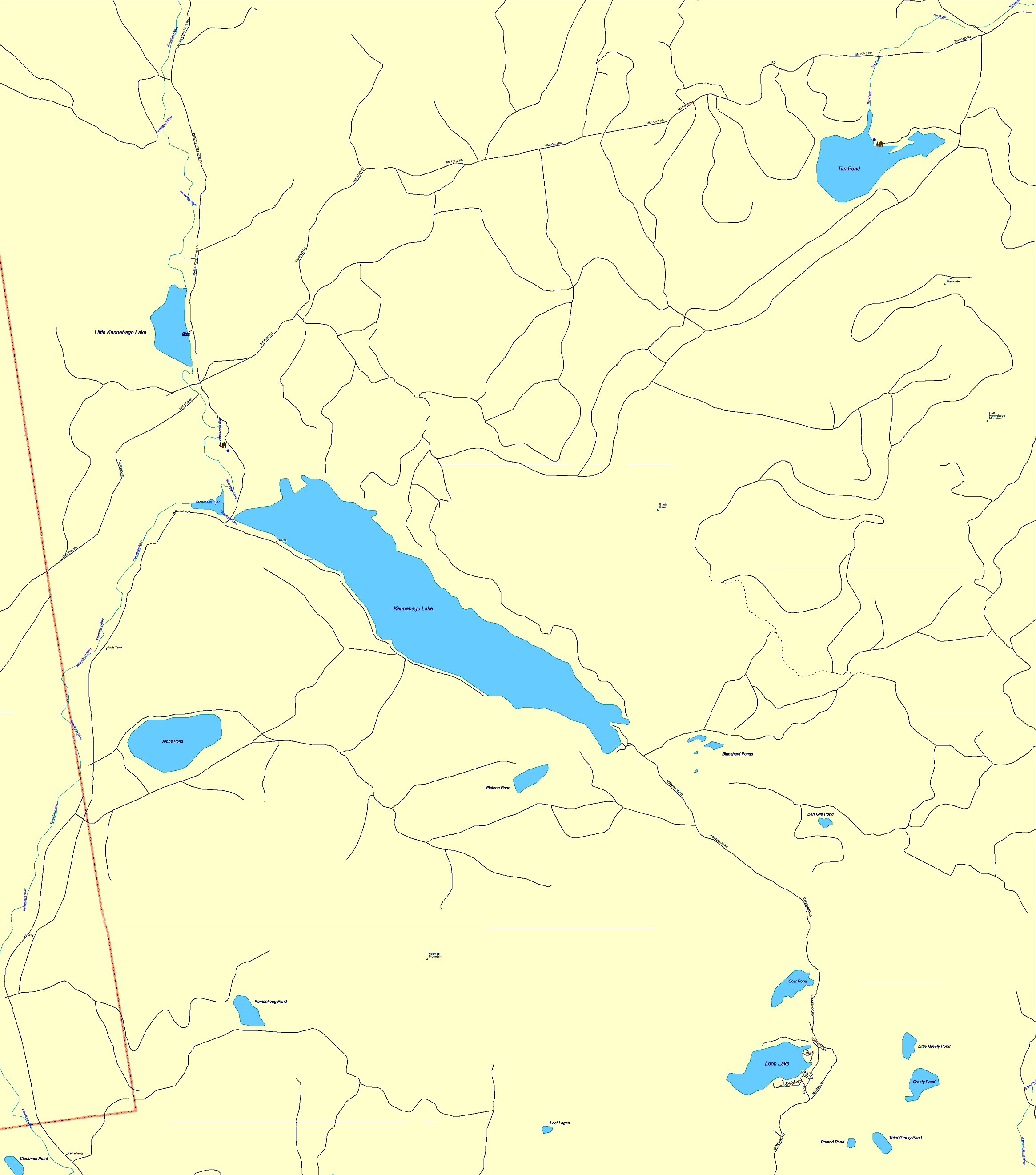
MAINE MAPS: KENNEBAGO LAKE AND TIM POND AREA
Please scroll left to right and
top to bottom to see entire map! Most map
icons are clickable. Click on these icons for photos and more information.
For hiking and paddling trails please see the Rangeley
Lakes Topo Map!